
play_arrow
Yummy Hits SoFlo's Hottest Hits
todayJuly 7, 2026
If it feels like the entire 305 and 954 are covered in hazy, milky skies over the next few days, your eyes aren’t playing tricks on you. A massive plume of Saharan dust has completed its 5,000-mile journey across the Atlantic, and it is locking down right over South Florida this week.
This cloud of desert sand, officially known as the Saharan Air Layer (SAL), is a classic summer tradition here. But this week’s wave is especially large, bringing a mixed bag of vibrant sunset views, stifling heat, and itchy eyes to Miami, Fort Lauderdale, and the Keys.
The plume rolls into South Florida starting Tuesday and is expected to settle in through Friday, completely reshaping our typical summer weather pattern. Here is what you need to know to get through the week.
Heat indices are expected to reach advisory levels (105-108) this week, with the possibility of exceeding 115 degrees at scattered locations by the weekend. Visit https://t.co/YBsWQ2hLEL to learn more about your risks and what you can do to protect yourself from extreme heat. pic.twitter.com/o0TdVAd4Jv
— NWS Miami (@NWSMiami) July 6, 2026
Because this air mass is exceptionally dry and packed with wind shear, it acts as an atmospheric shield. The dust layer actively suffocates the moisture needed for thunderstorms and temporarily halts hurricane formation.
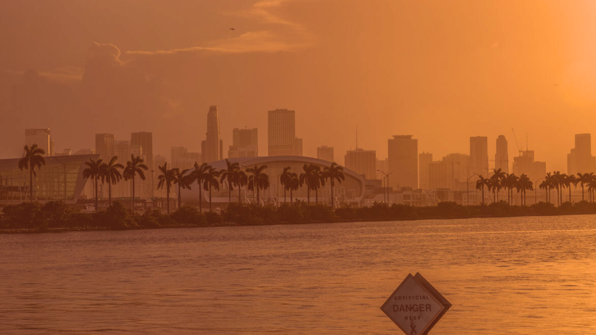
Even better? The fine dust particles act as a natural filter for the sun. As low-angle sunlight passes through the dust layer in the late afternoon, it scatters the light to create incredibly vibrant, deep orange and pink sunrises and sunsets.
Don’t expect the hazy skies to cool things down. In fact, it’s the exact opposite. Because the dust layer suppresses our usual afternoon sea breeze thunderstorms, we lose our daily cooling mechanism.
To make matters worse, a heat dome is building across the state at the exact same time. Expect actual afternoon temperatures to soar into the mid-90s. With the humidity trapped near the ground, “feels-like” heat indexes could easily push into a dangerous 105° to 110°F+ range by the weekend.
While the bulk of this dust stays anywhere from 5,000 to 20,000 feet above our heads, enough of it can drift down to irritate your respiratory system.
For sensitive groups: If you suffer from asthma, COPD, or severe seasonal allergies, you’ll want to limit prolonged outdoor workouts this week. Expect some scratchy throats and watery eyes.
For your car: If we do get a stray, isolated afternoon shower, the raindrops will grab the dust on the way down. Don’t be surprised if you walk outside to find your car coated in a thin layer of brown, muddy “rain dust.” Hold off on hitting the car wash until Saturday.
Written by: Oliver Ford